
Explainer · Storms & floods
Why can a tropical cyclone strengthen so quickly?
Rapid intensification happens when a storm's winds increase sharply over a short period. It requires a favourable combination of ocean energy, atmospheric conditions and an organising storm core.
SharedMorrow Editorial · Last reviewed 2026-10-05
A definition, not a new kind of storm
In common National Hurricane Center usage, rapid intensification means an increase in maximum sustained winds of at least 30 knots over 24 hours. That is roughly 35 miles per hour or 55 kilometres per hour. It describes a measured change over a time window, not a separate storm category and not every noticeable strengthening.
A forecast may show a risk of rapid intensification before the threshold has been observed. Reporting should distinguish that possibility from a confirmed increase. It should also state which agency's wind estimates and averaging convention are being compared.
The ocean has depth
Sea-surface temperature is only the top layer of the energy supply. Strong winds stir the ocean and can bring cooler water upward. If warm water extends deeper, this mixing may cool the surface less, allowing the storm to keep drawing heat and moisture. This is why ocean heat content can add information beyond a surface-temperature map.
The atmosphere can still interrupt the process. Strong changes of wind with height can displace thunderstorms away from the centre. Dry air can interfere with deep convection. Conversely, low shear, moist surroundings and favourable outflow aloft can help the inner core become more efficient.
Ingredients and limits
| Ingredient | Why it matters — and what it cannot promise |
|---|---|
| Deep warm water | Sustains energy supply despite mixing; does not organise the storm by itself |
| Low vertical wind shear | Helps keep the circulation aligned; is not a guarantee of intensification |
| Moist surrounding air | Supports persistent convection; local dry-air intrusions can still matter |
| An organising inner core | Can concentrate strong winds; small-scale changes are difficult to observe and predict |
A feedback loop in the core
- Ocean heat and moisture support rising air and thunderstorms.
- Condensation releases latent heat, helping sustain the storm's circulation.
- A more organised circulation can concentrate energy around the centre.
- Stronger winds can increase surface exchanges, while ocean cooling and other processes oppose further growth.
This is not an unlimited runaway process. The environment and storm structure impose constraints. Eyewall changes can also alter intensity, sometimes in ways that a simple warm-water explanation misses.
Michael shows why lead time matters
Hurricane Michael in 2018 is an example of intensification before a damaging landfall. NOAA's research examines the role of ocean conditions alongside atmospheric influences. The lesson is not that an identical sea-temperature pattern guarantees another Michael. It is that a forecast's range of plausible intensity outcomes matters while there is still time to prepare.
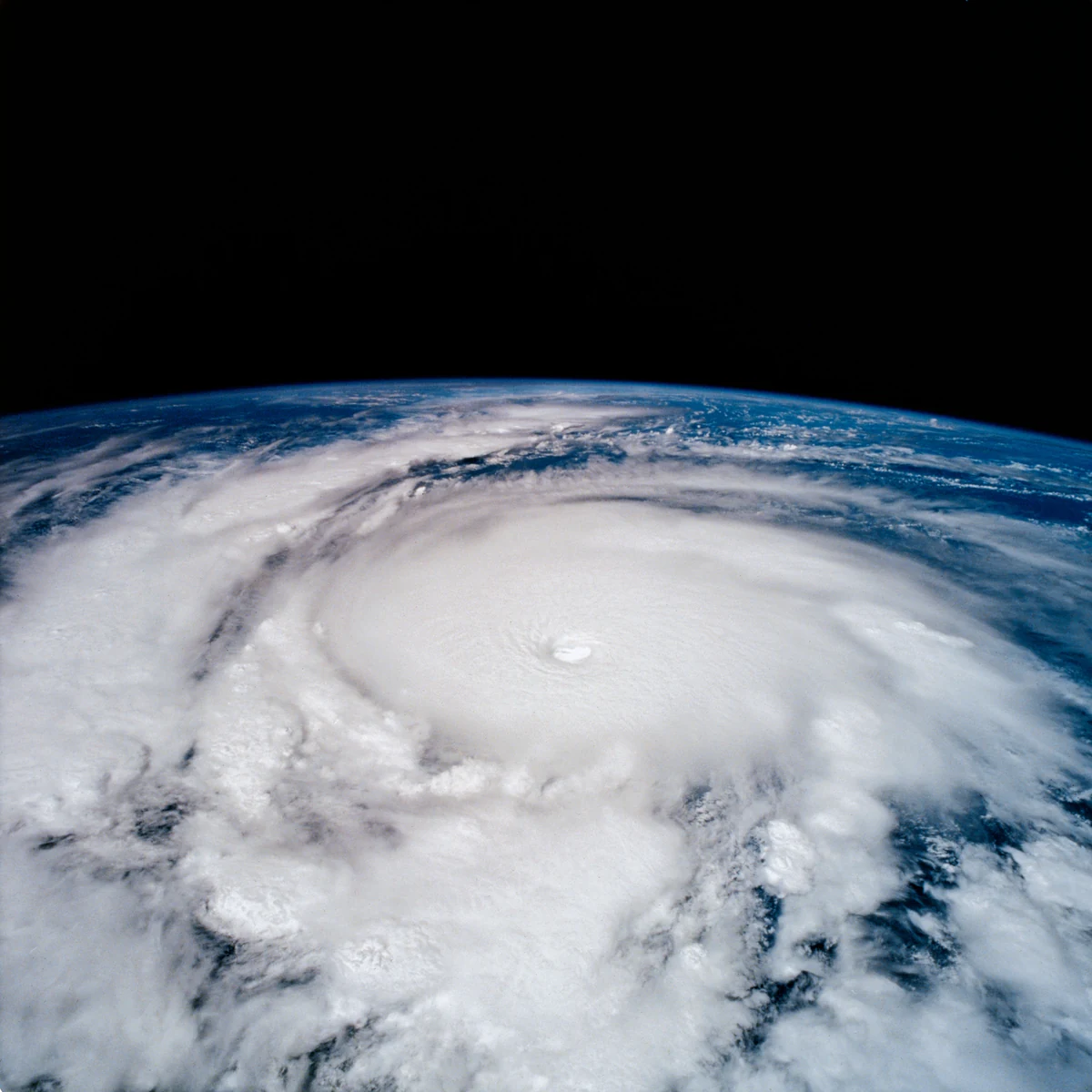
The historical Hurricane Emilia photograph on this page illustrates a well-organised cyclone. It is not presented as a measurement of Michael or as proof of a particular 24-hour wind increase. Intensification is established from a sequence of observations, not from the appearance of one eye.
What remains difficult to predict
Forecast models must represent the inner core, the ocean below and the surrounding atmosphere. Small errors can affect the timing or degree of strengthening. Forecast skill has improved, but a precise peak intensity and exact time of change are still not guaranteed.
For a reader following Global Now, compare advisory times and the forecast discussion. A stale map may describe a much weaker earlier storm. Preparation should follow local warnings and deadlines; waiting for a higher category can use up the available evacuation time.
Common questions
Does every storm over hot water intensify rapidly? No. Shear, dry air, land interaction and internal structure can prevent it.
Does rapid intensification tell me the surge at my location? No. Storm size, track, coastal shape and tide also matter.
Is climate change relevant? A warmer background can make favourable thermodynamic conditions more available, but explaining one storm still requires its actual ocean and atmospheric evidence.
Watch the official explanation
Fuel for the Storm · English video · NOAA Ocean Today