
Before a crisis
Save local weather, emergency, transport and watershed channels, including their coverage and update times.
Topic
Read warnings, forecasts, journalism and personal observation as different kinds of evidence. Storm and flood impacts vary by catchment, terrain and city systems. This page is not a live flood or evacuation service.
Save local weather, emergency, transport and watershed channels, including their coverage and update times.
Use current local instructions, avoid floodwater and damaged infrastructure, and never infer another area’s risk from one image.
Track roads, drinking water, mould, insurance and housing recovery while separating confirmed facts from personal experience.
The type of information changes the decision. A forecast of possible conditions, an active warning and a photo of one road have different time frames and geographic coverage.
Common errors include attributing one event to a single cause or assuming receding water means safety. Contamination, structural damage, mould and transport disruption can persist.
Log the agency, covered area, issue time, validity and update link; read units and station locations with each value. Act on applicable local notices, not inferred routes from screenshots.
Scenario: one flooded-street image circulates after heavy rain. Establish its time, place, catchment, tide and active local warning, and separate forecast, measurement and personal observation. Do not infer that another road is passable or turn an old image into a current evacuation route.
Catchment, drainage, tides, terrain and buildings change outcomes. FAQ: can a historic high-water mark predict one home’s risk? It is context, not a substitute for a current local assessment.
Q: Is it safe when the water recedes? A: Not necessarily; contamination, electrical hazards, structural damage, mould and transport disruption can remain. Q: Does a historic flood mark predict one home? A: It provides context, not a current property assessment.
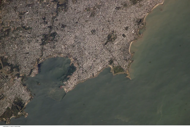 ExplainerWhy is a city often hotter than the countryside?Buildings, paving, limited vegetation and waste heat change a city's energy balance. The effect varies by neighbourhood and is often especially important after sunset.
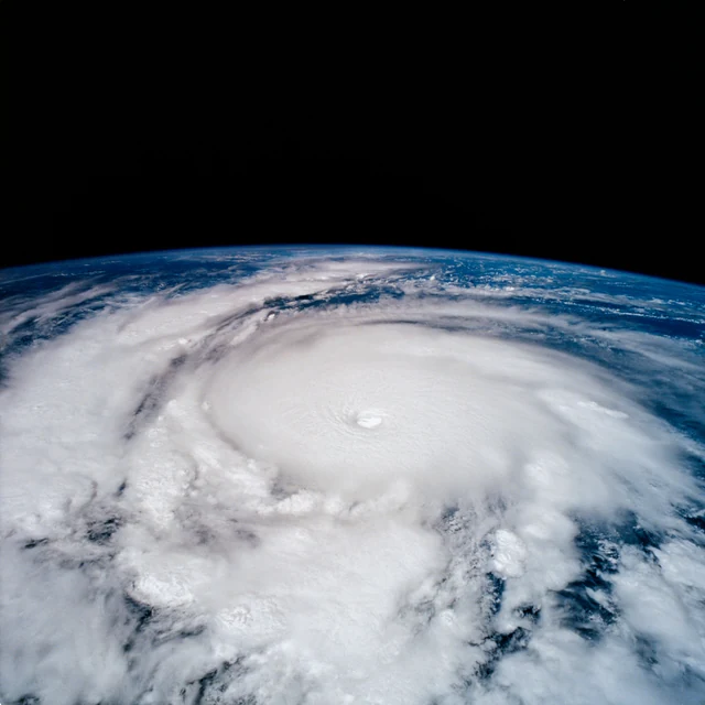 ExplainerWhy can a tropical cyclone strengthen so quickly?Rapid intensification happens when a storm's winds increase sharply over a short period. It requires a favourable combination of ocean energy, atmospheric conditions and an organising storm core.
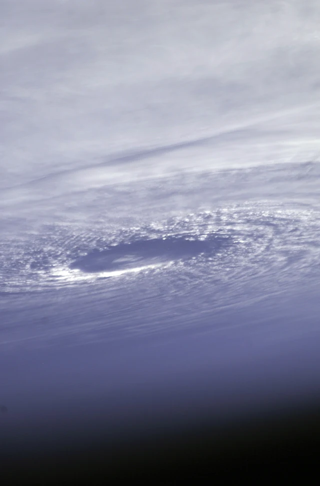 ExplainerHurricane, typhoon or cyclone: what is the difference?The names mostly tell you where a tropical cyclone occurs. They do not describe three unrelated kinds of storm, and they are not a complete guide to danger.
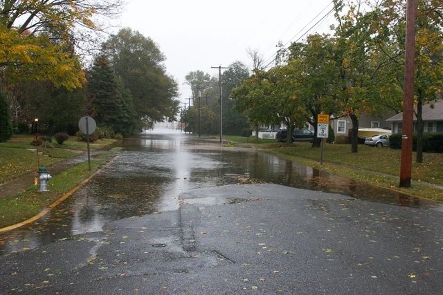 ExplainerWhat is storm surge, and why can it be so dangerous?Storm surge is an abnormal rise of sea level driven by a storm, above the expected astronomical tide. It can flood land even where the rainfall has not been exceptional.
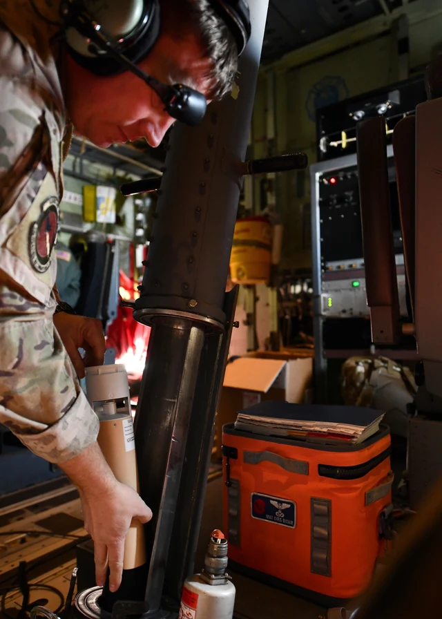 ExplainerWhat is an atmospheric river?An atmospheric river is a concentrated corridor of water-vapour transport. It can replenish a region's water supply or help produce destructive flooding, depending on where and how it arrives.
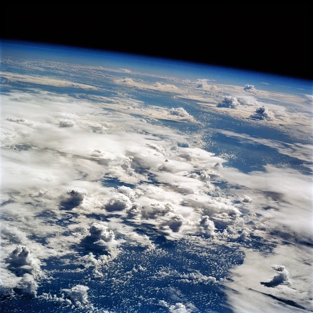 ExplainerWhy can a warmer climate produce heavier downpours?Warm air can contain more water vapour, but moisture alone does not make a flood. Storm motion and the ground below are just as important to the outcome.
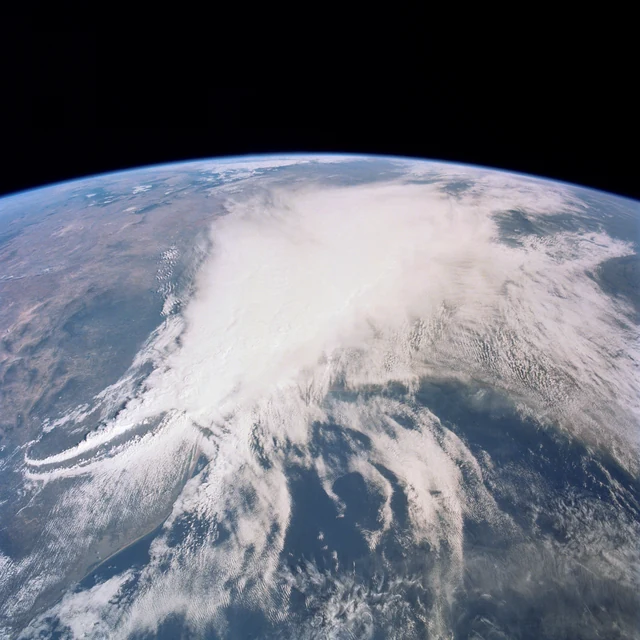 ExplainerWhy is extreme weather changing?Heat, heavy rain and drought do not respond to warming in the same way. Understanding the difference makes a disaster headline much more useful.
Official SharedMorrow editorial account for curated resources, topic maintenance, and community discussion starters.